Surprisingly Diverse Mississippi
By:
K Gregg ElliottWhether you are a resident of Mississippi, or have never visited, this state is surprisingly diverse. The Mississippi Comprehensive Wildlife Conservation Strategy, or CWCS, recognizes 4 distinct ecoregions, which are large areas that generally share similar climate, geography, and species communities. In addition to abundant wildlife, such as white-tailed deer, mourning dove, and the invasive feral pig, the state also harbors quite a number of unique, and imperiled, species.
Mississippi River Alluvial Plain
The Mississippi River Alluvial Plain is the ecoregion that encompasses the southern end of the Mississippi River and the vast area that has been influenced by it over eons. This area is geologically complex, having been influenced by both deposition from glaciers encroaching from the north and coastal plain sediments deposited by a retreating Gulf of Mexico.
The river itself has sculpted vast areas within its floodplain, and it remains a strong influence on the landscape today, despite miles of levees that now attempt to contain the river’s energy. The Mississippi River Alluvial Plain is dominated by bottomland hardwood forests and prairie or hardwoods in the uplands. Long duration flooding is still a major force that shapes the region, especially backwater flooding, in which high Mississippi River stages create a damming effect and prevent tributaries from draining into the mainstem.
Upper East Gulf Plain
The large Upper East Gulf Plain Ecoregion encompasses approximately one-half of Mississippi’s land area, primarily in the northeastern section of the state. This is another geologically complex region that has been shaped by tectonic forces and is the site of the New Madrid fault, along which major earthquakes have occurred in historical times.
The ecological treasures in this region are mainly aquatic. “For example, rivers in this region provide habitat for over 206 native fish species. . . . Particularly noteworthy rivers of this region include the Hatchie, the longest free flowing tributary in the lower Mississippi River valley and tributaries of the Pascagoula, America's longest unencumbered river.”
The vegetation of this region is mostly forest of mixed deciduous and pine. However, landowners, timber and paper companies, and investors are in the process of converting vast acreages to pine plantations. The nascent carbon market is also luring some to consider establishment of fast-growing eucalyptus, rather than native species, as a means of carbon banking.
East Gulf Coastal Plain
The East Gulf Coastal Plain ecoregion stretches across the southern end of Mississippi and five other states. It’s characterized by gentle terrain and sandy soils interspersed with abundant wetlands and bogs harboring rare plants, amphibians, and insects. According to the CWCS, this area is one of the “biologically richest in North America,” by virtue of the fact that many species are endemic and others are now rare.
This ecoregion is dominated by pinelands, at one time made up primarily of longleaf and slash pine ecosystems. The pineland system “has now been reduced to less than five percent of its former range, making it one of the most endangered landscapes in North America.” These forests have been cut, replaced by loblolly plantations, and deprived of fire - an essential process in maintaining them.

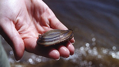
The fish and mussel species of this ecoregion are also among the most threatened on the continent, with many confined to specific river systems. For this reason, “conservation of aquatic biodiversity in the East Gulf Coastal Plain requires conservation of most of the river systems.”
Northern Gulf of Mexico
The northern Gulf of Mexico ecoregion encompasses a relatively “narrow” band at the southern edge of the East Gulf Coastal Plain. It is a subtropical region that “supports some of the most extensive wetland and seagrass habitats in the world.” This region also includes maritime grasslands and forests, beaches, barrier islands, and the rich estuaries that serve as nurseries for finfish, shellfish, and other marine species.
The productivity of the estuaries is fed by the immense load of freshwater, silt, and nutrients that pour into the Gulf at the mouth of the Mississippi River. In recent year, however, the nutrient load from fertilizers, herbicides, and pesticides has been too great, creating a Connecticut-sized hypoxic, or low oxygen, “dead zone” in the highly productive nearshore Gulf region each summer.
Threats and Solutions
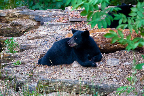
Interspersed within these four ecoregions o f the magnolia state are 297 species designated “in greatest conservation need,” or SGCN. These include such familiars as the wood stork, alligator snapping turtle and Louisiana black bear. Lesser known animals urgently in need of conservation include many species of bat, freshwater crayfish and mussels, and many fish that inhabit the Tombigbee drainage of the Upper East Gulf Coastal Plain.
Although threats to the distinct areas within Mississippi vary, a common theme is the extent to which human development for agriculture, forestry or resource extraction has affected the landscape. While landowners may have contributed to some of these problems, they also constitute the most effective means of addressing the issues.
Landowners, and the many conservation programs in place through the federal Farm Bill, state programs, and private nonprofits, are best suited to substitute best management practices for those that are incompatible with wildlife. They are in the position to promote the use and restoration of native species, such as longleaf pine, for both harvesting and carbon sequestration. Those who live off the land are also the most likely to appreciate its wildlife, while possibly profiting from the ecotourism sustained by the state’s diversity.